Water Over the Falls
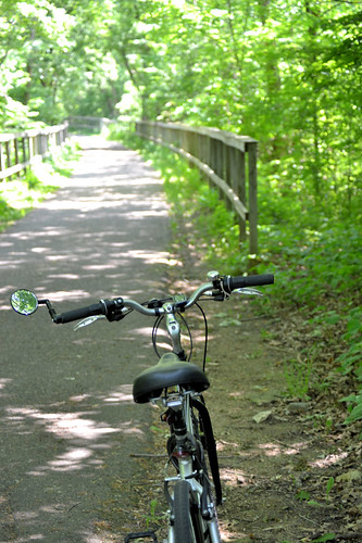
A hot Monday over a week ago, right after the 32-mile Tour de Pepin and I found myself with a little extra time and the bike on the back of the car. I also was in Minneapolis and decided to visit Minnehaha Falls.
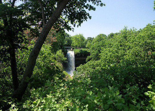
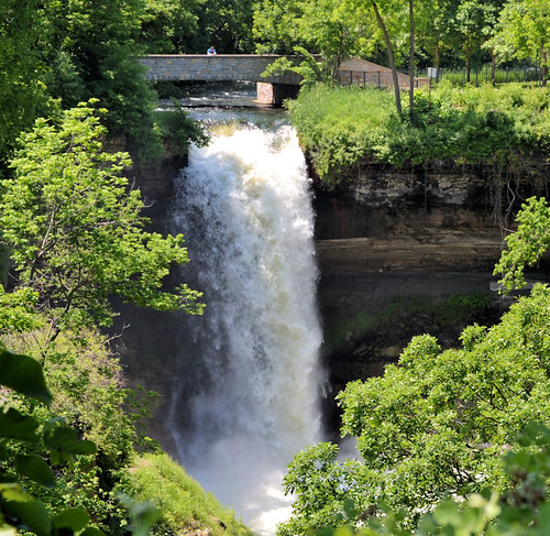
Minnehaha Creek is a tributary of the Mississippi River located in Hennepin County, Minnesota that extends from Lake Minnetonka in the west and flows east for 22 miles through several suburbs west of Minneapolis and then through south Minneapolis. Including Lake Minnetonka, the watershed for the creek covers 181 square miles. The creek might have been unremarkable except for the 53 foot Minnehaha Falls located near the creek's confluence with the Mississippi. The site is not far from Fort Snelling, one of the earliest white settlements in the region.
While the name is often translated as "Laughing Water", the correct translation is "curling water" or "waterfall". The name comes from the Dakota language elements mni, meaning water, and ȟaȟa, meaning waterfall. Thus the expression "Minnehaha Falls" translates as "Waterfall Falls". The "Laughing Water" translation comes from Mary Eastman's book Dacotah, published in 1849. On the Fort map of 1823, the falls were named Brown's Falls. The Dakota called Minnehaha Creek, "Wakpa Cistinna", meaning "Little River". --Wikipedia
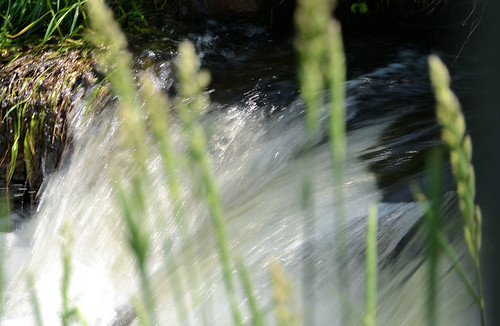
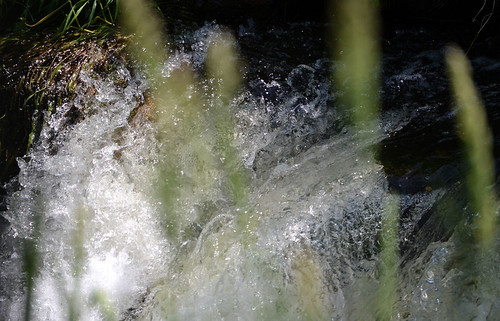
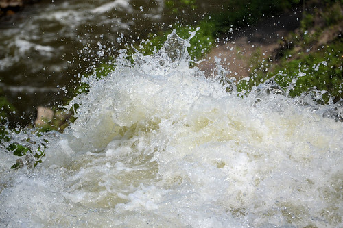
And I had to try some different camera speeds to get flowing water looking different.
All in all, quite a nice little ride.


No comments:
Post a Comment